 English
 English

The monsoon is retreating, but India’s weather remains sharply divided between heat, rain and early-season chill. (Img: Pinterest)
New Delhi: The southwest monsoon is steadily retreating, but its exit is bringing sharply contrasting weather conditions across India, with the hills turning cooler while Delhi-NCR, Uttar Pradesh and Bihar continue to experience warm and humid afternoons. The India Meteorological Department has forecast rain, thunderstorms and strong winds in several states even as the country begins its transition towards the post-monsoon season.
The weather transition has become particularly noticeable across northern India, where temperatures are beginning to fall during the morning and night. At the same time, parts of southern India remain under the influence of active rain-bearing systems, keeping the monsoon season alive in pockets even as it withdraws from large parts of the country.
The southwest monsoon has already withdrawn from several central and western states, including Madhya Pradesh, Rajasthan, Gujarat, Maharashtra and Chhattisgarh. As rainfall activity declines across these regions, daytime temperatures remain relatively high, creating a sharp contrast between hot afternoons and increasingly comfortable nights.
The withdrawal of the monsoon does not immediately signal the arrival of winter. Instead, India enters a transition period in which clear skies, stronger sunshine, falling night temperatures and occasional thunderstorms can coexist across different regions.
This seasonal shift is also beginning to influence northern India, where cooler nights are expected to gradually become more noticeable during the coming weeks.
The most visible change is unfolding across the Himalayan region. Uttarakhand, Himachal Pradesh and Jammu and Kashmir are witnessing a noticeable decline in temperatures, with higher elevations already experiencing colder conditions following spells of rain and snowfall.
Uttarakhand temperatures are expected to remain around 12 to 14 degrees Celsius in some areas, while parts of Himachal Pradesh could see temperatures close to 16 degrees Celsius. Weather conditions are expected to become progressively cooler over the next four to five days, with temperatures potentially falling by another 3 to 4 degrees in some locations.
The cooling trend is significant because it could gradually extend towards the plains. By the second week of October, northern plains may begin experiencing a clearer difference between warm afternoons and cooler mornings and nights.
Delhi-NCR is also entering a noticeable weather transition. Rainfall activity is expected to remain limited, but temperatures will continue to fluctuate throughout the day.
Morning and night temperatures could remain around 24 to 26 degrees Celsius, while afternoon temperatures may climb towards 35 degrees Celsius. This wide day-night variation means residents could experience relatively pleasant conditions early in the day followed by uncomfortable heat and humidity during the afternoon.
The fall in nighttime temperatures is expected to become more pronounced as the northern weather pattern gradually changes. However, residents should not expect sustained winter-like conditions immediately, as October sunshine can continue to push daytime temperatures higher.
Uttar Pradesh is likely to experience a combination of dry weather, sunshine and isolated rainfall. Western parts of the state are expected to remain largely dry, while some areas of eastern Uttar Pradesh could receive light to moderate showers.
The maximum temperature is expected to remain around 32 to 33 degrees Celsius, with minimum temperatures hovering near 23 to 24 degrees Celsius in several areas.
There is no major widespread heavy-rain warning for Uttar Pradesh in the supplied forecast. However, the impact of recent rainfall remains a concern in several riverine areas.
Elevated river levels and continued water releases from dams could keep flood-related risks alive even as fresh rainfall declines. The rising water level of the Gomti in Lucknow is among the developments being closely watched.
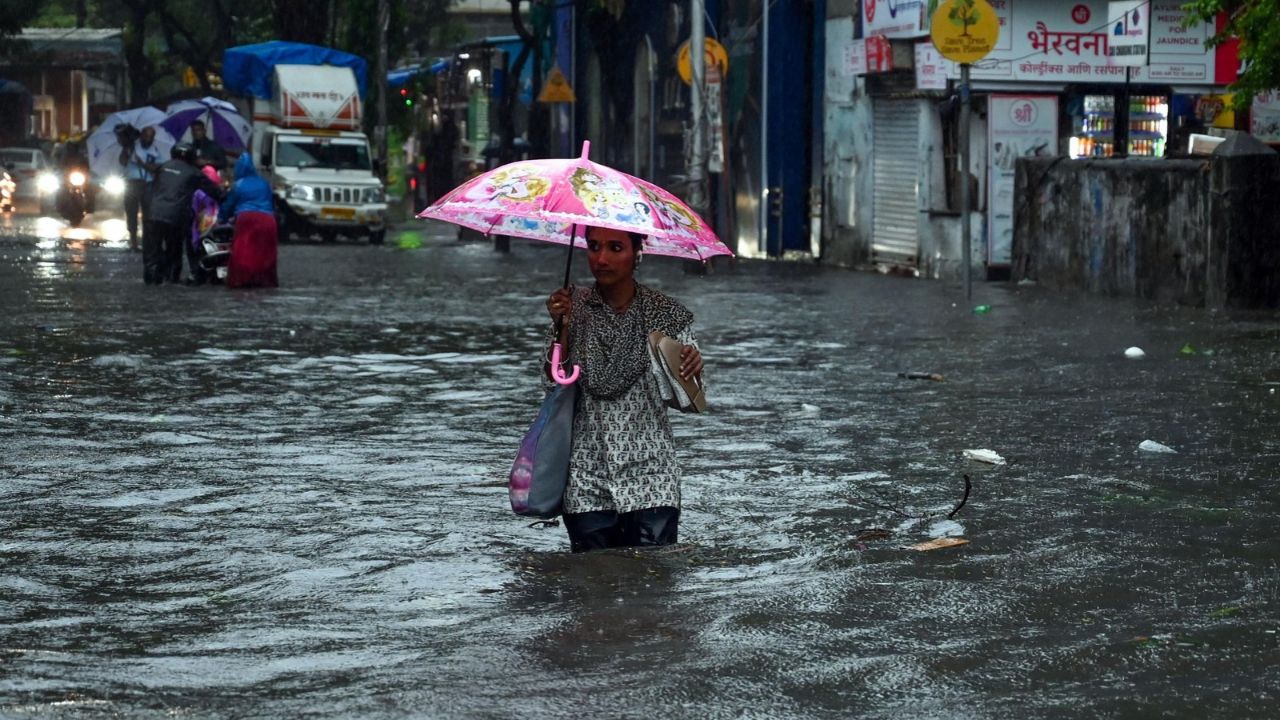
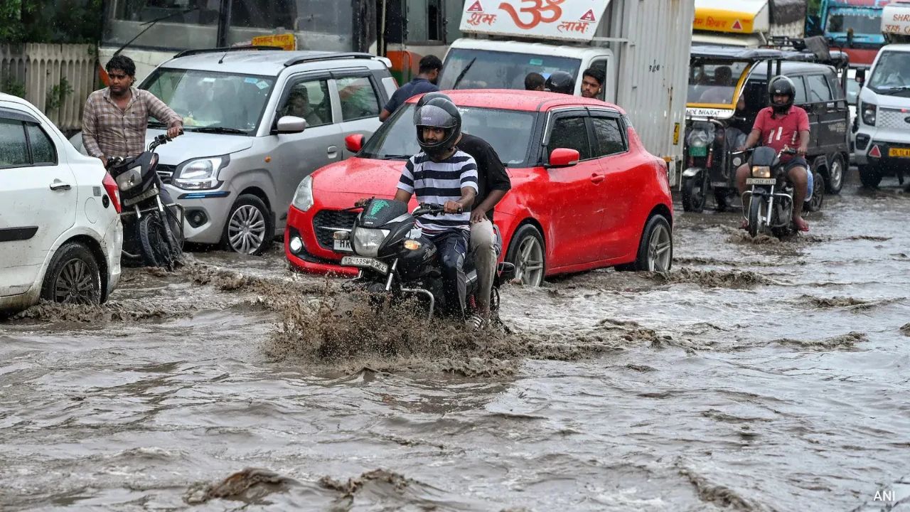
Bihar is dealing with a particularly complicated situation because the decline in rainfall has not immediately ended flood-related problems. The rising level of the Gandak has affected several districts, with floodwater reported in hundreds of villages.
Some parts of the state could still receive light to moderate rainfall, but the larger concern remains the accumulated water and river discharge from upstream areas. Temperatures across Bihar are expected to remain between 32 and 34 degrees Celsius during the day and around 22 to 24 degrees Celsius at night.
For residents in low-lying and river-adjacent areas, the weather forecast therefore needs to be viewed alongside river levels and local administrative advisories.
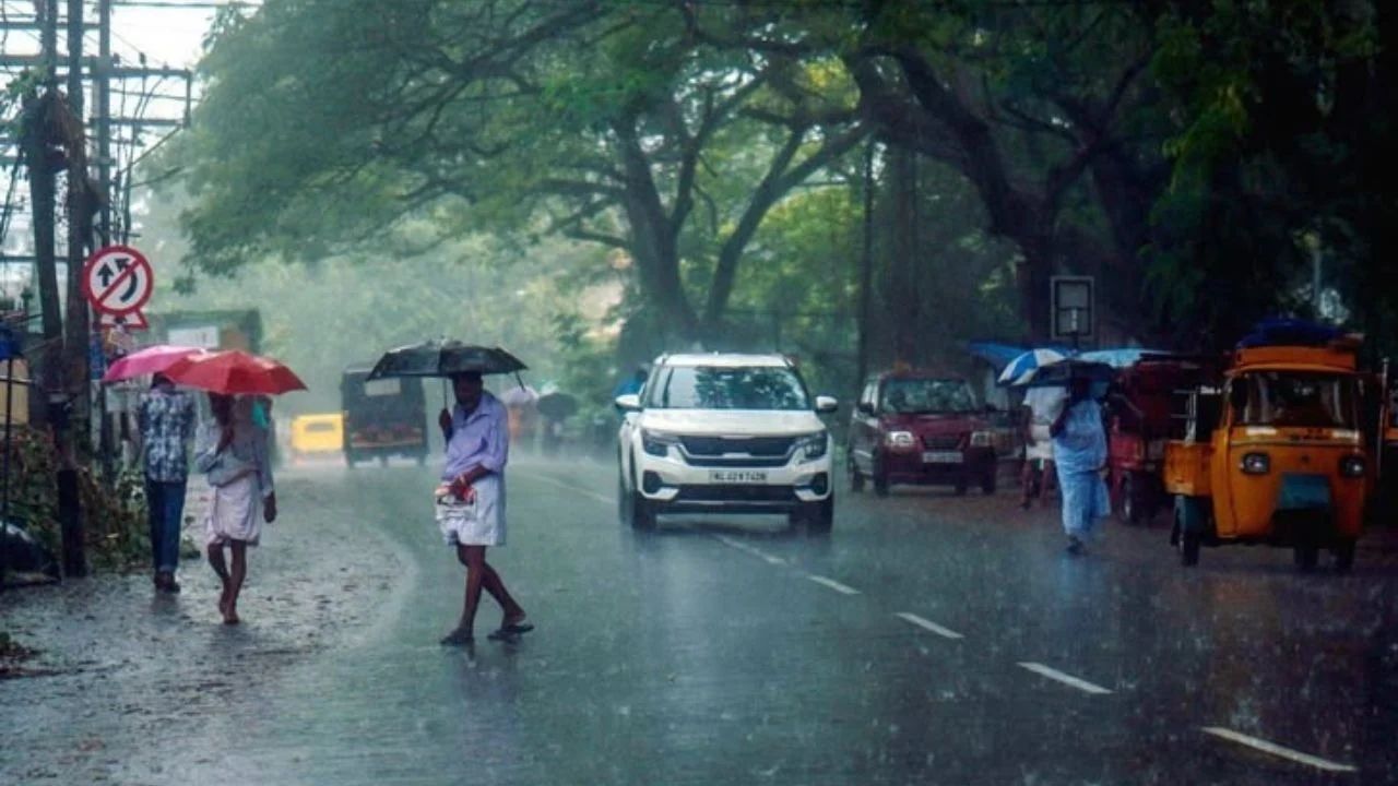
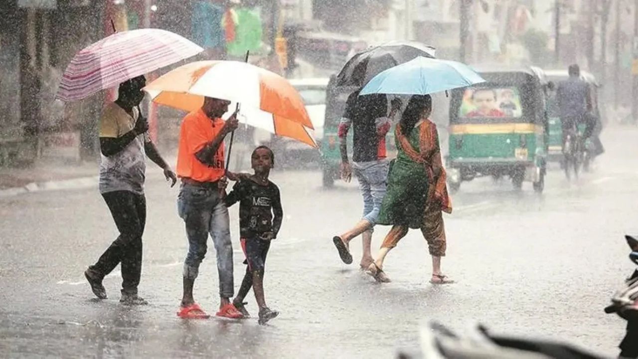
While northern India moves towards drier conditions, parts of southern India continue to see active rainfall. Kerala, Andhra Pradesh and Tamil Nadu are among the states where rain has been forecast, while parts of Karnataka and Goa may also experience lighter showers.
Weather systems over the Bay of Bengal and adjoining regions can continue to influence rainfall patterns across the southern peninsula. Coastal communities and fishermen should remain attentive to official marine weather advisories whenever strong winds or rough sea conditions are forecast.
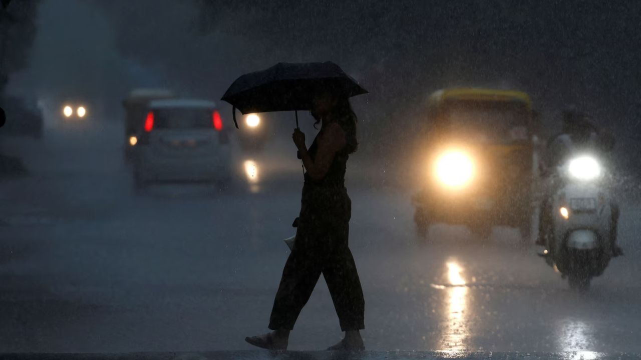
The end of the monsoon does not mean an immediate end to severe weather. Several parts of the country could experience thunderstorms, lightning and strong winds during this transition phase.
Forecast information cited in the supplied update points to the possibility of winds reaching around 50 to 60 kmph in some affected areas. Such conditions can damage temporary structures, uproot trees and disrupt electricity and road movement.
Some areas could also witness hailstorms, although the possibility and intensity will vary by location. Residents should therefore monitor local IMD warnings rather than relying solely on broad state-level forecasts.
Rain and snowfall in Himalayan states can create secondary hazards even when rainfall totals are not exceptionally high. Uttarakhand and Himachal Pradesh remain vulnerable to landslides, falling rocks, road blockages and sudden changes in mountain weather.
Travellers heading towards hill stations should check local weather and road advisories before beginning their journey. The risk is particularly important on mountain roads where saturated slopes can become unstable after rainfall.
The changing weather pattern also has implications for agriculture. Sudden showers, thunderstorms, strong winds and isolated hailstorms can damage standing crops, particularly where harvesting or post-harvest activities are already underway.
Farmers may need to closely monitor local weather advisories and take precautionary measures depending on the crop and stage of harvest. The transition from monsoon to post-monsoon conditions can be particularly sensitive for agriculture because rainfall becomes less widespread but can still occur in intense, localised bursts.
With the monsoon having withdrawn from Rajasthan and Madhya Pradesh along with several neighbouring regions, rainfall activity is expected to weaken further.
However, the retreat of the monsoon will not instantly eliminate the heat. Clear skies and strong solar heating can keep afternoons warm, while reduced nighttime temperatures gradually improve the overall weather comfort.
This pattern is typical of the October transition, when temperatures can fluctuate considerably between day and night.
The major question for residents across northern India is when the persistent October heat will finally give way to cooler conditions. The change is expected to be gradual rather than sudden. Weather conditions could begin to feel more comfortable by the middle of October, particularly during the morning and night.
The second half of October is likely to bring a more noticeable seasonal transition across the northern plains, although daytime temperatures may continue to remain relatively high in many cities.
On October 5, rain activity is expected across Kerala, Andhra Pradesh and Tamil Nadu, while lighter showers may occur in parts of Karnataka and Goa. Delhi-NCR, Uttar Pradesh, Madhya Pradesh, Rajasthan and Haryana are likely to remain warm and humid during the afternoon.
Uttarakhand, Himachal Pradesh, Jammu and Kashmir and Punjab are beginning to experience relatively cooler conditions, particularly during the morning and night. Gujarat, Maharashtra, West Bengal and Jharkhand are expected to see comparatively clearer weather in several areas.
The key takeaway is that India is entering a highly dynamic weather transition. While the monsoon is retreating, isolated heavy rain, thunderstorms and strong winds remain possible in some regions, while cooler nights are gradually taking hold across northern and Himalayan areas.