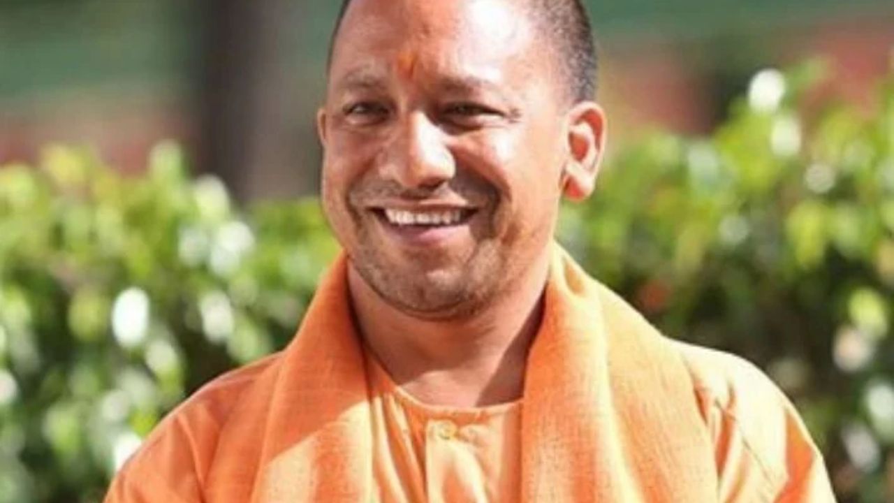
Space Technology for a Developed UP: Experts discuss how satellite applications could transform agriculture, urban planning and governance across Uttar Pradesh. (Img: X)
Lucknow: Uttar Pradesh is stepping up its efforts to bring space technology closer to everyday governance, with satellite-based applications being explored to address challenges ranging from agricultural productivity and land disputes to urban planning and disaster management.
A two-day Space Applications Adoption Workshop, organised by the Remote Sensing Applications Center, Uttar Pradesh, in collaboration with IN-SPACe under the Department of Space, Government of India, and the Department of Urban Development, concluded at Roopam Auditorium in Lucknow on October 9.
The workshop brought together scientists, government officials, geospatial technology experts and industry representatives to discuss how satellite data and modern space applications could help improve public services and support the vision of Viksit Uttar Pradesh 2047.
One of the key proposals discussed during the workshop was the geotagging of land parcels across Uttar Pradesh. Chief Secretary S.P. Goyal stressed the importance of using space applications to map land accurately, saying the initiative could help farmers identify the precise boundaries of their fields and assist in resolving land-related disputes.
For farmers, land boundary disagreements can become a major source of uncertainty. More accurate mapping could help improve land records and support better planning, although the resolution of disputes would still depend on the applicable legal and administrative processes.
Goyal also called for 100% mapping of houses through space applications to support house-tax assessment. Such mapping could help the Urban Development Department strengthen its revenue base and improve urban administration.
Science and Technology Minister Anil Kumar urged IN-SPACe experts and industry partners to expand the use of modern space technologies to improve agricultural practices across the state. He highlighted the potential to increase crop yields, particularly in areas with limited irrigation facilities, and strengthen preparedness for droughts and floods.
Satellite-based applications can support agricultural planning by providing information about land, water resources and changing environmental conditions. Wider adoption could help departments make more informed decisions on irrigation, crop management and disaster preparedness. However, the benefits will depend on how effectively these technologies are integrated into local planning and made accessible to the people who need them most.
The minister also called for greater use of space applications in governance, healthcare, education and infrastructure development.
He emphasised the role of scientific planning in the construction of safer bridges, roads and canals, while also highlighting the potential of technology to strengthen healthcare facilities and education networks.
The broader objective is to use space-based information not only for large infrastructure projects but also to improve the planning and delivery of essential public services.
Special Secretary and Remote Sensing Applications Center, Uttar Pradesh, Director Ramesh Chandra called for integrating space technology with innovation and artificial intelligence to accelerate development.
Principal Secretary Pandhari Yadav provided details about the department’s work during the workshop.
The Department of Science and Technology, Uttar Pradesh, played a central role in organising the event and promoting practical applications of satellite-based technology across agriculture, forestry, water resources, land management, urban planning, infrastructure and disaster management.
The workshop featured presentations on several key areas of development.
Dr Aniruddh Uniyal, a senior scientist at the Remote Sensing Applications Center, delivered a presentation on minerals, water and disaster management. Scientist Alok Saini discussed urban development and infrastructure, while Dr P.P.S. Yadav presented on the PM Gati Shakti National Master Plan.
Experts from more than 50 state government departments and districts participated, representing sectors including urban development, housing, transport, energy, health, education, agriculture, irrigation, forestry and rural development.
Twenty-two industry partners presented technological solutions, while 75 private firms participated in the workshop. Scientists from the Department of Space, the Geological Survey of India, the Remote Sensing Applications Center and the Council of Science and Technology also attended, along with district magistrates from several districts.
The concluding session featured a round-table discussion involving representatives of state government departments and companies working in space applications. Participants discussed technology-based solutions to challenges faced by various departments.
The workshop marks a step towards expanding the practical use of space technology in Uttar Pradesh. The next major challenge will be translating the ideas discussed into implementable projects, integrating satellite-based information into departmental systems and ensuring that the technology delivers tangible benefits on the ground. If effectively implemented, these applications could support better agricultural planning, more accurate land mapping, stronger disaster preparedness and improved urban governance as Uttar Pradesh works towards its 2047 development goals.

