 English
 English

IMD issues red alert in eight Tamil Nadu districts.
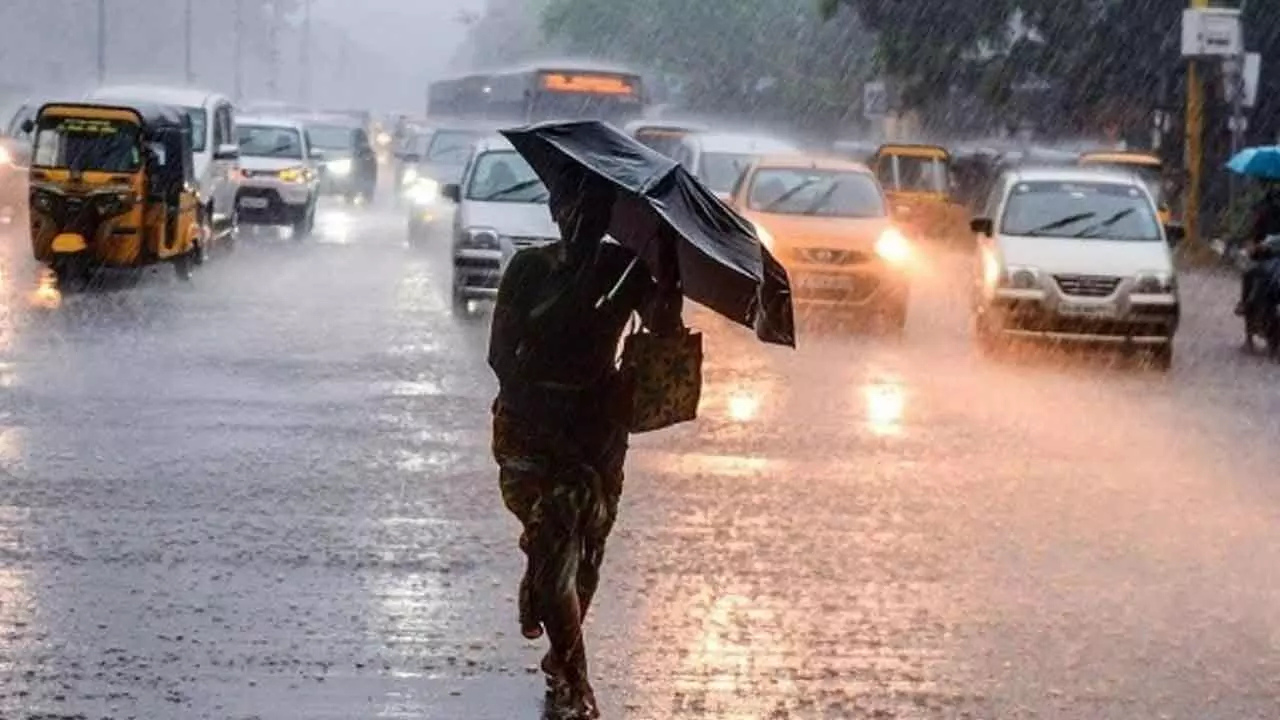
Chennai: Tamil Nadu braces for an intense rainfall episode as meteorologists warn that a low‑pressure area over the Bay of Bengal may deepen into a depression, triggering widespread showers and localized extreme downpours. The IMD has flagged the threat of extremely heavy rainfall (≥ 21 cm in 24 hours) for selected coastal and delta districts.
A red category warning is in force for eight districts: Villupuram, Cuddalore, Mayiladuthurai, Nagapattinam, Tiruvallur, Thanjavur, Pudukottai and Ramanathapuram. Meanwhile, an orange alert (very heavy rain: 11–20 cm in 24 hrs) extends to Chennai, Chengalpattu, Kancheepuram, Kallakurichi, and other neighbouring areas.
Preparations have been ramped up: schools and colleges are shut in 12 districts and in Puducherry for today as a precaution. Reports from low‑lying areas in the delta region suggest water has already entered homes in places like Tiruvarur and parts of Nagapattinam where paddy fields remain submerged, raising alarm for farmers.
Chennai faces waterlogging on Diwali as heavy rain lashes city
The IMD attributes the incoming deluge to two well‑marked low‑pressure systems — one over the southeast Arabian Sea, another over the southwest Bay of Bengal — feeding moisture into the region and intensifying the potential for extremely heavy rain between October 21–24. The system is expected to move west‑north‑west towards north Tamil districts and Puducherry by Wednesday afternoon.
Schools and colleges shut in 12 districts.
Under directions from Chief Minister M. K. Stalin, 12 IAS officers have been appointed to closely monitor the red‑alert districts, evacuation and relief camps stand ready, and major water‑bodies like the Mettur and Vaigai dams are at or near full capacity. In Chennai’s suburbs, controlled release of reservoir water is underway to create buffer capacity.
This weather event comes during the transition to the northeast‑monsoon season, a critical period for Tamil Nadu’s agriculture and water‑storage cycle. With climate‑change factors amplifying intensity of rain spells, authorities see this as a test of their disaster‑preparedness infrastructure and urban‑drainage resilience.
No related posts found.


