 English
 English

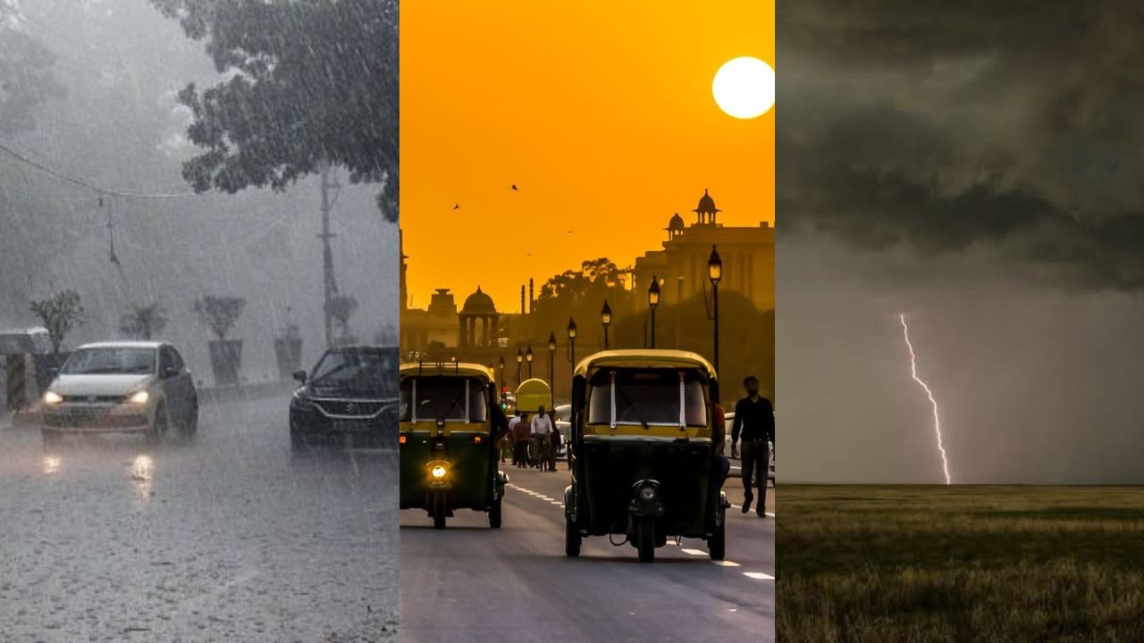
One Country, Two Weather Patterns: Cool Mornings in the North, Heavy Rain in the South. (Img: Pinterest)
New Delhi: India is witnessing a sharp contrast in weather conditions as the country moves deeper into October. While northern states are experiencing a gradual seasonal transition, with cooler mornings and evenings following snowfall in the Himalayan region, several southern and western states are bracing for continued rainfall, thunderstorms and gusty winds. The India Meteorological Department (IMD) has forecast a prolonged spell of rain across parts of southern India through October 23, 2026, with isolated areas at risk of heavy to very heavy showers.
Delhi and several other parts of North India are expected to remain predominantly dry, with mainly clear skies and warm afternoons. In contrast, Tamil Nadu, Kerala, Karnataka, Andhra Pradesh and adjoining regions may experience intense rainfall during the coming days. Parts of western India, including Goa, Konkan and Maharashtra, are also likely to witness thunderstorms and strong winds.
The contrasting outlook highlights the changing seasonal weather pattern across India, with the withdrawal of the southwest monsoon and the approaching northeast monsoon influencing rainfall activity in different regions.
Delhi is expected to remain largely dry on Sunday, October 18, with mainly clear skies and warm daytime conditions. According to the supplied IMD forecast, the maximum temperature is likely to range between 31°C and 33°C, while the minimum has settled at approximately 18.6°C.
The capital is expected to maintain predominantly dry conditions over the next several days. Maximum temperatures may remain between 31°C and 33°C until Tuesday, October 20, before rising to around 32°C–34°C on Wednesday and Thursday. By Saturday, October 24, daytime temperatures could reach 33°C–35°C.
Although the nights and early mornings may feel comparatively cooler, the afternoon heat is expected to persist. Residents should not assume that the onset of autumn will immediately bring a sustained drop in daytime temperatures.
The weather is gradually changing across parts of North India as snowfall in higher reaches of Jammu and Kashmir, Himachal Pradesh and Uttarakhand contributes to cooler conditions in the surrounding regions.
Punjab, Haryana, Delhi-NCR and western Uttar Pradesh are beginning to experience cooler air during the early morning and evening hours. However, much of the northern plains is expected to remain predominantly dry, with warm afternoons continuing through the coming days.
The weather outlook for northwestern, central, eastern and northeastern India does not indicate significant widespread weather activity during the forecast period. Local conditions may still vary, so residents should consult district-level forecasts for any isolated showers or thunderstorms.
Uttar Pradesh is likely to experience generally warm and dry weather across much of the state, particularly in its western districts. Daytime temperatures may hover around 32°C in some areas, while nights are expected to be comparatively cooler.
The broader forecast does not indicate significant widespread rainfall activity across the northern plains. However, localised changes remain possible, and residents should check official weather bulletins before making travel or outdoor plans.
The seasonal transition is expected to become more noticeable during early mornings and after sunset, although daytime temperatures may remain relatively high.
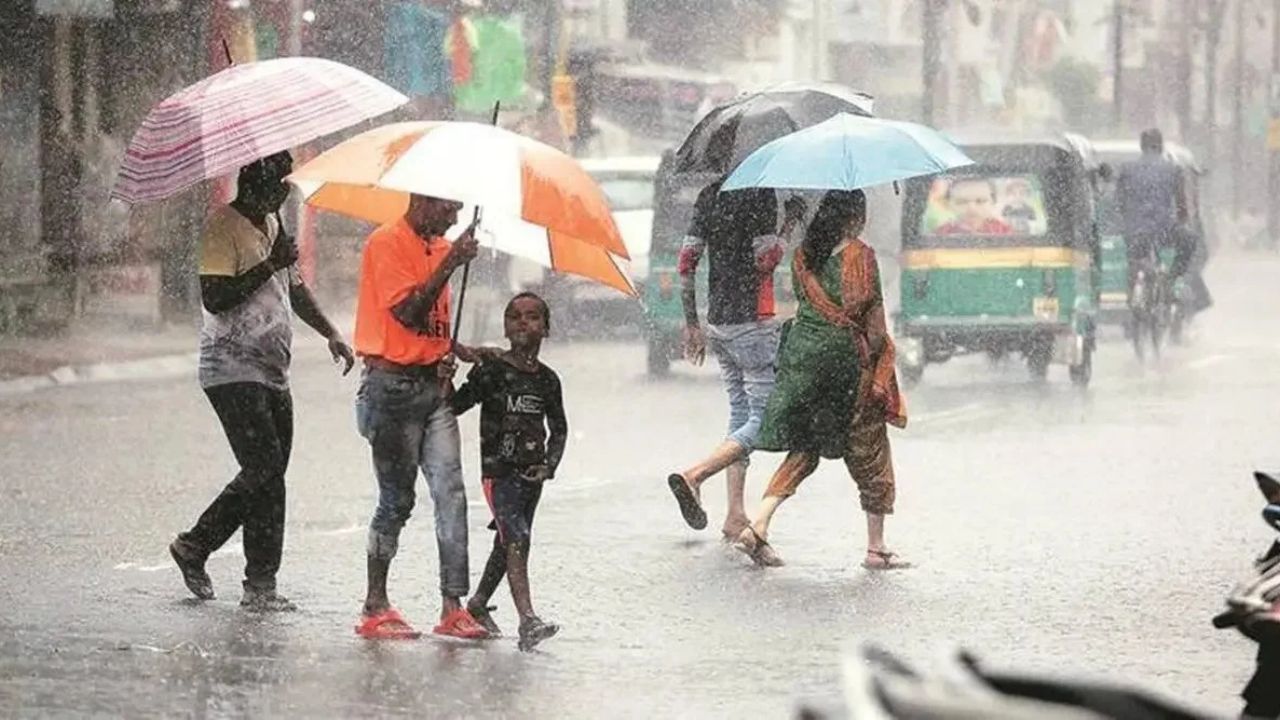
Southern India is expected to remain the principal zone of rainfall activity over the coming week. The IMD has forecast heavy showers in several parts of Tamil Nadu, Puducherry, Karaikal, Kerala, Mahe, Lakshadweep and Karnataka through October 23.
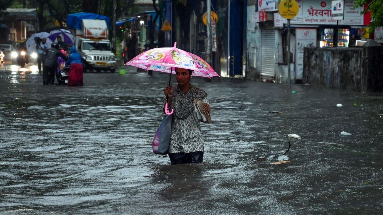
Coastal Andhra Pradesh and Rayalaseema are also likely to receive heavy to very heavy rainfall at isolated locations between October 18 and October 21. The distribution and intensity of rainfall will vary by district, and localised downpours could lead to waterlogging, reduced visibility and disruptions to road travel.
The IMD has also reported significant recent rainfall in parts of the southern peninsula. During the preceding 24-hour period, some areas of Goa, Tamil Nadu and Kerala recorded approximately 12–20 centimetres of heavy to very heavy rain. Parts of coastal Andhra Pradesh, Rayalaseema and Karnataka received around 7–11 centimetres.
These rainfall figures reflect reported observations over the preceding period and should not be interpreted as forecasts of the same amounts for every location.
Tamil Nadu, Puducherry and Karaikal are likely to experience repeated spells of heavy rainfall during the coming week.
The forecast indicates heavy rain on October 18-19 and October 21-23, with very heavy rainfall possible at isolated locations on October 20. The changing intensity of the showers could affect local transport, low-lying areas and outdoor activities.
Residents should monitor updated district-level alerts, particularly where heavy rainfall warnings are issued. Local authorities may also issue advisories concerning waterlogging, traffic diversions and the safety of people living in vulnerable areas.
Kerala and Mahe are expected to receive rainfall from October 18 through October 23, with heavy showers likely in several areas.
The weather department has also warned of thunderstorms, lightning and gusty winds in Kerala, Mahe and Lakshadweep. Wind speeds may reach 40–50 km/h, with gusts potentially touching 60 km/h.
These conditions could pose risks to people outdoors, temporary structures, trees and overhead electrical installations. Residents should avoid exposed locations during lightning and follow local authorities’ instructions during periods of intense weather.
The IMD has advised fishermen not to venture into the Arabian Sea along and off the Kerala and Karnataka coasts or into the Lakshadweep area during the specified adverse-weather period. Fishermen should follow the latest marine warnings before undertaking any voyage.
Karnataka is also likely to experience a prolonged spell of rainfall, although the timing differs between coastal and interior regions. Coastal Karnataka may receive heavy rain between October 20 and October 22, while South Interior Karnataka is expected to experience rainfall activity from October 18 through October 23.
Parts of the state could also experience thunderstorms and gusty winds, with speeds of approximately 30–50 km/h in some areas. Heavy showers may affect road movement, particularly where drainage systems are unable to handle intense rainfall.
Residents should check local forecasts before travelling, while people living in low-lying areas should remain alert to official warnings about water accumulation or possible flooding.
Coastal Andhra Pradesh and Rayalaseema are forecast to receive heavy to very heavy rainfall at isolated locations between October 18 and October 21. Thunderstorms, lightning and gusty winds may accompany the rain in some areas. The weather conditions could disrupt road traffic and outdoor activities, particularly during intense downpours.
Residents should avoid crossing flooded roads or streams and should not take shelter beneath isolated trees during thunderstorms. People working outdoors should follow local advisories and move to safe shelter when lightning activity begins.
Western India is also likely to experience unsettled weather during the early part of the week. Goa, Konkan and Marathwada may witness thunderstorms through October 19, while similar activity is forecast in parts of Madhya Maharashtra until October 20.
Winds may reach approximately 40–60 km/h in affected areas. Despite the possibility of storms, Goa and Konkan may continue to experience hot and humid conditions at some locations.
The combination of humidity, sudden rainfall and strong winds can make conditions uncomfortable and potentially hazardous. Residents should secure loose outdoor objects and follow weather warnings, especially when travelling or attending outdoor events.
The current weather pattern is being influenced by several atmospheric systems operating simultaneously over different parts of the country. A cyclonic circulation is reported near northern Haryana, southeastern Rajasthan, southwestern Madhya Pradesh and northwestern Uttar Pradesh. Another circulation is active over northern Tamil Nadu and coastal Andhra Pradesh.
A trough line also extends across the southwestern Bay of Bengal and the eastern-central Arabian Sea, covering a broad area from the Karnataka coast towards the Comorin region. These systems are contributing to unsettled weather and rainfall activity across parts of southern and western India.
At the same time, snowfall in higher Himalayan areas is contributing to the gradual cooling felt across parts of the northern plains. The combined influence of these weather systems explains why some regions are experiencing dry conditions while others face heavy rain and thunderstorms.
The seasonal transition is also occurring as the northeast monsoon approaches southern India, a period during which Tamil Nadu and neighbouring regions can receive substantial rainfall.
Residents in areas forecast to receive heavy rain should monitor official IMD alerts and local administration advisories. Waterlogged roads, underpasses and overflowing streams should be avoided, while unnecessary travel during intense downpours should be postponed where possible.
During thunderstorms, people should seek shelter inside a substantial building or enclosed vehicle, stay away from isolated trees and avoid contact with exposed electrical installations. Fishermen along affected coastal stretches should comply with marine warnings and avoid venturing into unsafe sea conditions.
In North India, where mainly dry weather is forecast, residents should prepare for warm afternoons and comparatively cooler mornings and evenings. Travellers to Himalayan destinations should check local road and weather updates before departure.
India’s October weather is currently marked by two contrasting developments: a gradual seasonal shift across the northern plains and persistent rainfall activity over parts of the south and west. As the forecast remains dynamic, checking the latest district-level IMD bulletin is essential before making weather-dependent plans.