 English
 English

IMD Issues Major Rain War Acrossning Multiple States (Img: Pinterest)
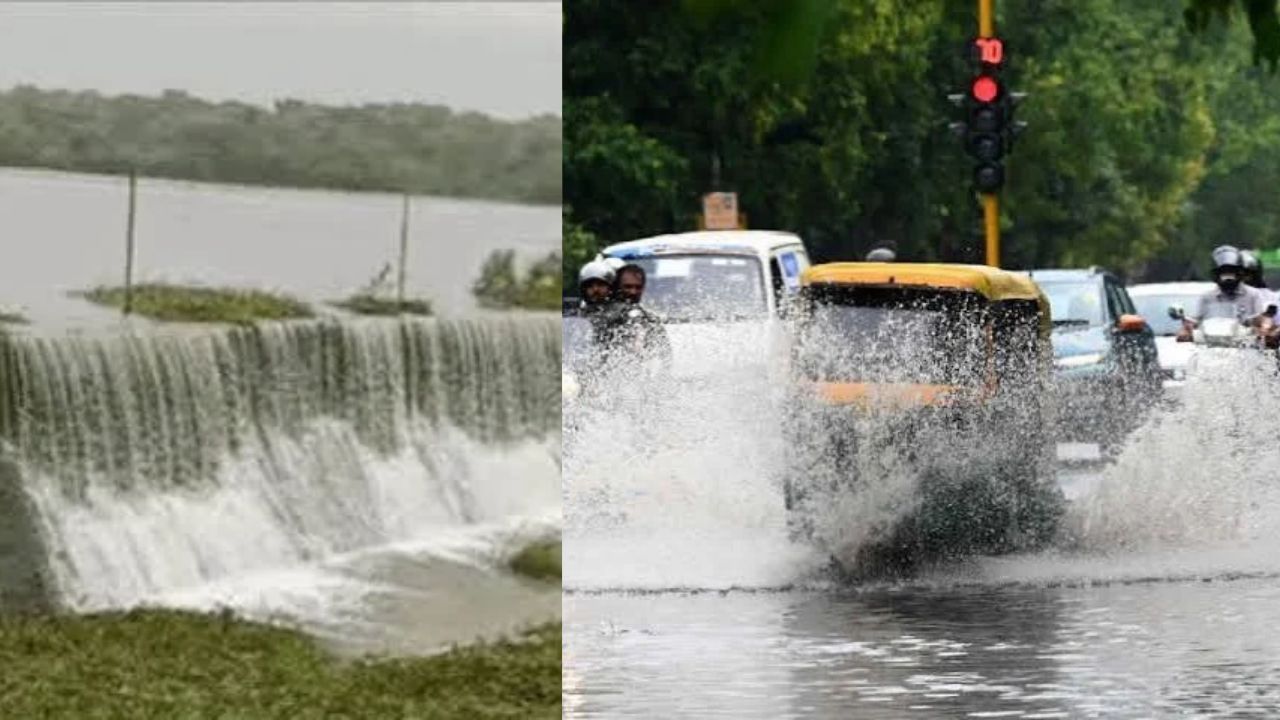
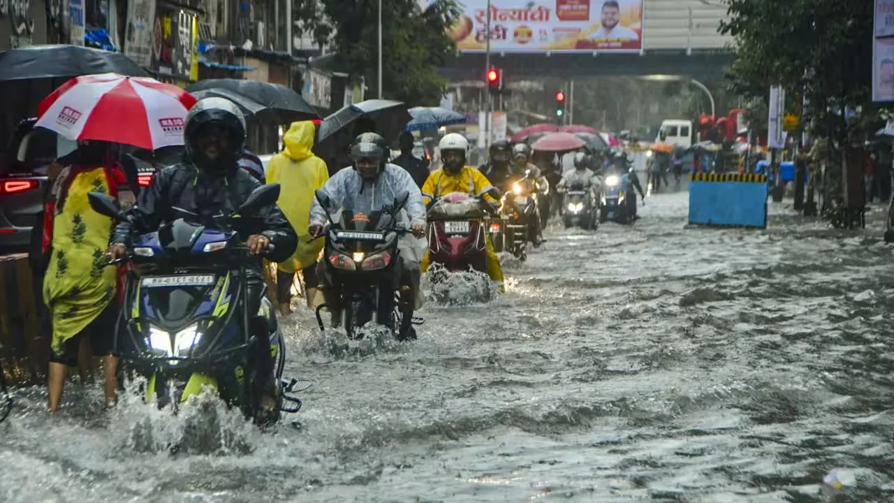
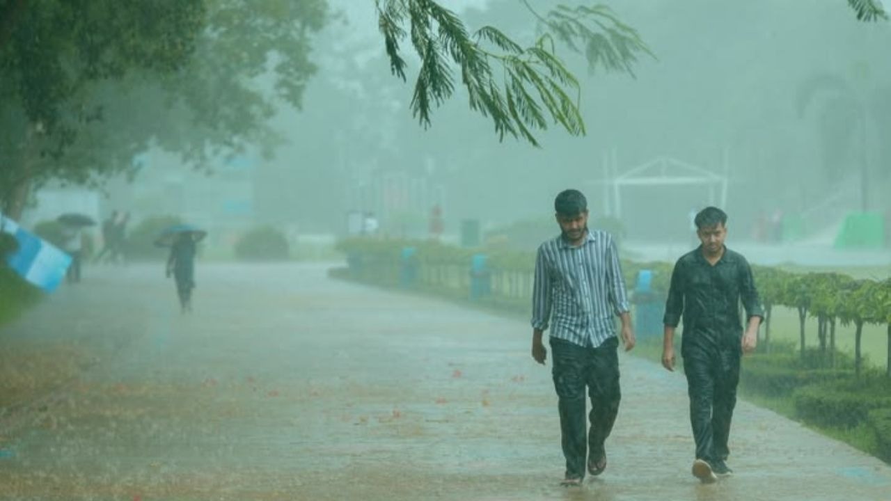
New Delhi: India's southwest monsoon has intensified, bringing widespread rainfall across several parts of the country. While the showers have provided relief from heat and humidity, the India Meteorological Department (IMD) has warned that heavy to very heavy rainfall, thunderstorms, and strong winds could create hazardous conditions in many regions over the next four to five days.
According to the IMD, monsoon activity is expected to remain vigorous across north-western and central India. Heavy rainfall warnings have been issued for 17 states, including Chhattisgarh, Madhya Pradesh, Maharashtra, Odisha, Jharkhand, Bihar, Uttar Pradesh, and northeastern states such as Nagaland, Manipur, and Mizoram.
The weather department has also forecast thunderstorms accompanied by winds ranging from 40 to 70 km/h, along with the possibility of lightning. Residents in low-lying and flood-prone areas have been advised to avoid unnecessary travel and remain alert.
Following heavy showers earlier this week, Delhi and the National Capital Region are expected to experience light to moderate rainfall on Wednesday as well. The IMD forecasts the maximum temperature to remain around 34–35°C, with cloudy skies and intermittent rain likely to continue on 30 July, keeping weather conditions relatively pleasant.
Rainfall is expected to persist across Uttar Pradesh and Bihar until at least 3 August. In western Uttar Pradesh, including Meerut, Saharanpur, Noida and Agra, as well as eastern districts such as Lucknow, Gorakhpur and Varanasi, intermittent heavy showers are forecast over the coming days.
In Bihar, districts including Patna, Gaya and Muzaffarpur are likely to receive rainfall accompanied by gusty winds. The IMD has indicated the possibility of particularly intense rainfall between 31 July and 3 August.
Mountainous regions remain especially vulnerable as persistent rainfall increases the risk of landslides and flash floods. Heavy rain is expected across Himachal Pradesh and Uttarakhand, including Shimla, Manali, Dehradun and Nainital, from 29 July through 3 August.
Authorities have advised tourists and local residents to avoid rivers, streams and landslide-prone areas during this period.
The IMD has urged people living in affected regions to monitor official weather updates, avoid flooded roads and low-lying areas, and take precautions against lightning and strong winds. Travellers are advised to check local weather conditions before planning journeys, particularly in hilly regions where landslides may disrupt transport.
1. What kind of weather is expected in Delhi and nearby areas?
According to the India Meteorological Department, Delhi-NCR and many other areas are expected to have rainfall, thunderstorms, lightning and strong winds. Some districts have been given red alerts on different days.
2. Which states are under IMD’s heavy rain warning?
IMD has said there will be heavy to heavy rainfall in:
3. What do orange and red weather alerts mean?
4. What precautions should I take if I need to travel from Delhi?
5. What should I keep in mind for commuting within Delhi?
6. Is it safe to travel to hill stations during this period?
During rain, hill states like Himachal Pradesh, Uttarakhand, Jammu & Kashmir and Northeast India face a bigger chance of landslides, blocked roads and falling rocks.
7. How can heavy rain affect flights and trains?
8. How can I stay safe during rainfall?
9. How can I check IMD’s latest weather updates?
10. Is this rainfall more dangerous than monsoon rain?
Yes. When IMD gives orange alerts, the rain can be much heavier than normal monsoon rain. This increases the chances of city flooding, waterlogging, and landslides.